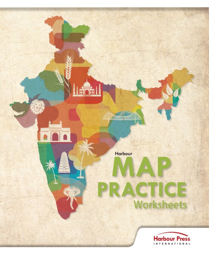
Harbour Press | Map Practice | Worksheet |
Special Price Rs 89.00 11% off Rs 100.00
Out of stock
SKU
SBKHARB6155
Related Products
Check items to add to the cart or
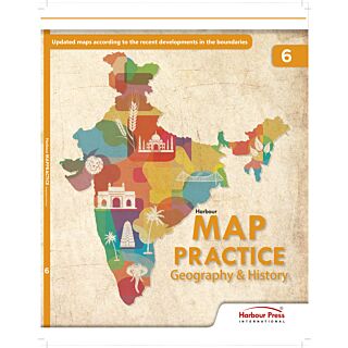
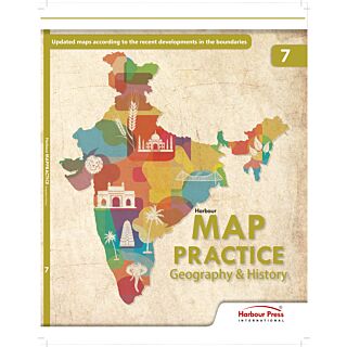
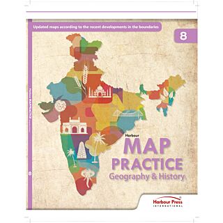
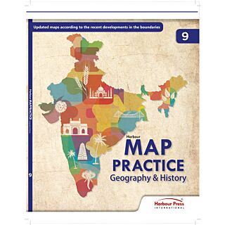
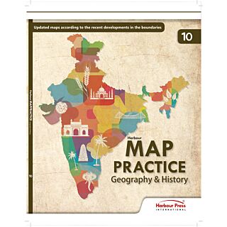


Harbour Map Practice Geography & History: The following pertain to all maps in this book.
Government of India, Copyright.
- Based on survey of india map.
- The responsibility for the correctness of internal details rests with the publisher.
- The territorial waters of india extent into the sea to a distance of twelve nautical miles measured from the appropriate baseline.
- The interstate boundaries between Arunachal Pradesh, Assam and Meghalya shown on the maps are vas interpreted from the North-Eastern Areas (Reorganisation) Act, 1971, but have yet to be verified.
- The state boundaries between Uttar Pradesh & Uttrakhand, Bihar & Jharkhand, Madhya Pradesh & Chhattisgarh and Andhra Pradesh & Telangana have not been verified by the Governments concerned.
- The external boundaries and coastlines of india are based on the Record/Master copy of Survey of India.
- The Scale given on the maps is approximate.
| Product Name | Harbour Press | Map Practice | Worksheet | |
|---|---|
| ISBN / Product Code | 9789389556155 |
| Edition | 2025-26 |
| Board : K12 | CBSE Board (NCERT) |
| School Books | Worksheets |
| Select Books by Class | Kindergarten & Pre Primary |
| Subject : School Books | History, Geography |
| Binding | Paperback |
| Publisher | Full Marks ( Harbour Press ) |
| HSN Code | 4901 |
| Company Details | Published by Harbour Press International, 4715-16, 4697/5, 21-A, 1st Floor Dayanand Road, Daryaganj, New Delhi-110002. In case of any queries regarding products please call at 91-11-41004082 or email at [email protected]. |
Write Your Own Review
We found other products you might like!


